Understanding Hectares of Land: A Comprehensive Guide
When discussing land area, the term “hectare” frequently arises. But what exactly is a hectare, and why is it important? This comprehensive guide will delve into the details of hectares of land, their significance, and how they are used in various contexts. Understanding hectares is crucial for anyone involved in agriculture, real estate, conservation, or urban planning.
What is a Hectare?
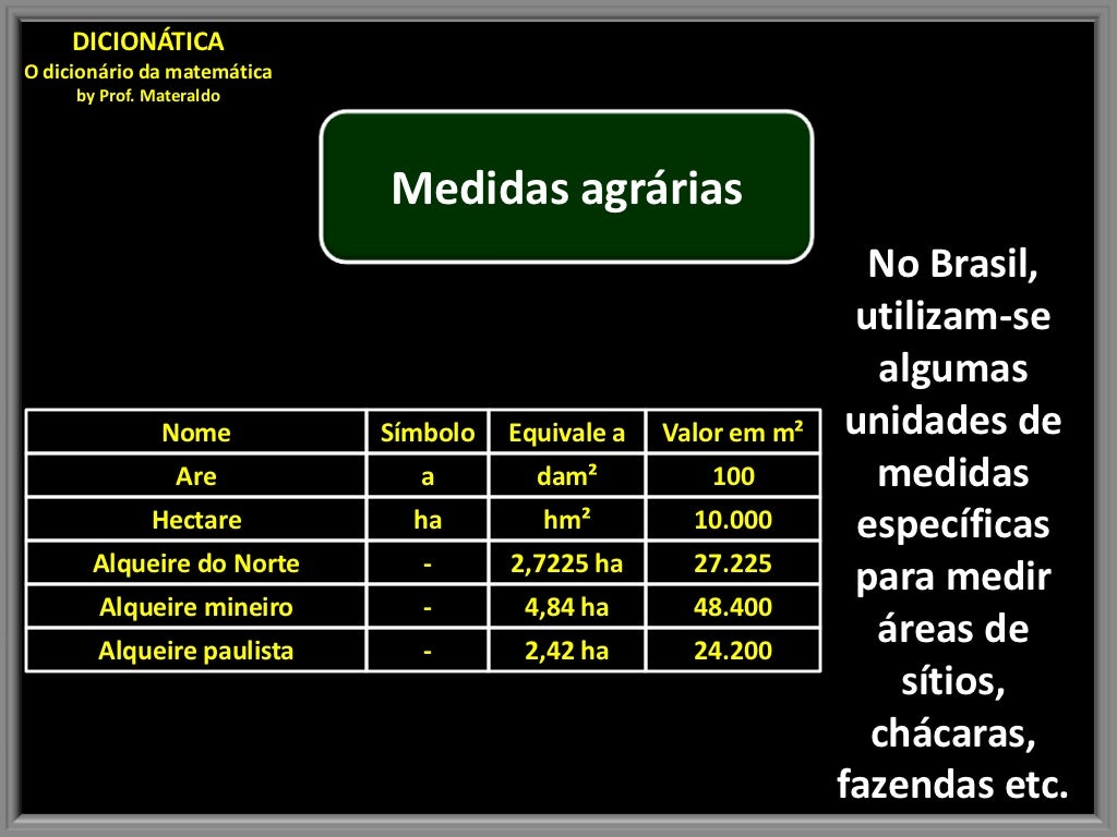
A hectare is a unit of area commonly used for measuring land. It is defined as a square with sides of 100 meters each. In simpler terms, one hectare is equal to 10,000 square meters. This makes it a convenient unit for expressing the size of large land parcels. One hectare is also equivalent to approximately 2.471 acres, a unit more familiar in some parts of the world, particularly the United States. The measurement of hectares of land is essential in many industries.
The Importance of Hectares
Hectares play a vital role in various fields. Here are some key areas where understanding hectares is crucial:
- Agriculture: Farmers use hectares to measure the size of their fields, which helps in calculating yields, planning crop rotations, and determining fertilizer requirements. The productivity of hectares of land is a critical factor in agricultural planning.
- Real Estate: Land values are often quoted in terms of price per hectare, especially for large tracts of land used for development or investment. Knowing the number of hectares allows buyers and sellers to accurately assess the value of properties.
- Conservation: Conservationists use hectares to measure the size of protected areas such as national parks, nature reserves, and wildlife sanctuaries. This helps in monitoring deforestation, habitat loss, and the effectiveness of conservation efforts.
- Urban Planning: Urban planners use hectares to manage land use, allocate space for residential, commercial, and industrial developments, and plan infrastructure projects. The efficient use of hectares of land is essential for sustainable urban growth.
- Forestry: Foresters measure forest areas in hectares to manage timber resources, plan reforestation projects, and assess the impact of logging and forest fires. Proper management of hectares of land is crucial for sustainable forestry practices.
Converting Hectares to Other Units
Understanding how hectares relate to other units of area is essential for practical applications. Here are some common conversions:
- Hectares to Acres: 1 hectare ≈ 2.471 acres
- Hectares to Square Meters: 1 hectare = 10,000 square meters
- Hectares to Square Feet: 1 hectare ≈ 107,639 square feet
- Hectares to Square Kilometers: 1 square kilometer = 100 hectares
These conversions are useful when dealing with land measurements in different regions or when comparing land sizes using various units. For example, converting hectares of land to acres might be necessary when working with American agricultural data.
How to Calculate Hectares
Calculating hectares involves determining the area of a piece of land in square meters and then converting it to hectares. Here’s a step-by-step guide:
- Measure the Length and Width: Measure the length and width of the land in meters.
- Calculate the Area: Multiply the length by the width to get the area in square meters.
- Convert to Hectares: Divide the area in square meters by 10,000 to get the area in hectares.
For example, if a field is 200 meters long and 150 meters wide, the area is 200 * 150 = 30,000 square meters. To convert this to hectares, divide by 10,000: 30,000 / 10,000 = 3 hectares. Therefore, the field is 3 hectares in size. The proper calculation of hectares of land is essential for accurate planning and management.
Practical Applications of Hectares
The use of hectares extends to various real-world scenarios. Let’s explore some practical applications:
Agricultural Planning
Farmers use hectares to plan their planting strategies. Knowing the number of hectares they have available helps them decide which crops to plant, how much seed to buy, and how to allocate resources. For instance, a farmer might allocate 5 hectares for corn, 3 hectares for soybeans, and 2 hectares for wheat based on market demand and soil conditions. The efficient management of hectares of land is vital for maximizing crop yields.
Real Estate Development
Real estate developers rely on hectares to assess the potential of land for building projects. They need to know the total number of hectares available to determine the number of houses, apartments, or commercial buildings they can construct. This information is crucial for financial planning, zoning compliance, and environmental impact assessments. The value of hectares of land significantly impacts the profitability of development projects.
Conservation Management
Conservation organizations use hectares to monitor and manage protected areas. They track changes in land cover, such as deforestation or reforestation, by measuring the area in hectares. This helps them assess the effectiveness of conservation efforts and identify areas that need additional protection. Monitoring hectares of land helps preserve biodiversity and protect endangered species. [See also: Protecting Endangered Species Habitats]
Urban Expansion
Urban planners use hectares to manage urban sprawl and plan for future growth. They need to know how many hectares of land are available for development and how to allocate that land for residential, commercial, and industrial uses. This helps them create sustainable and livable cities. The strategic use of hectares of land is crucial for managing urban expansion effectively.
Forestry Management
Forestry companies use hectares to manage timber resources sustainably. They need to know the area of their forests in hectares to plan logging operations, reforestation projects, and fire prevention measures. This ensures that forests are managed in a way that preserves their ecological value and provides a sustainable supply of timber. Responsible management of hectares of land is essential for the long-term health of forests.
The Future of Land Measurement
As technology advances, the methods for measuring and managing hectares of land are becoming more sophisticated. Satellite imagery, drone technology, and GIS software are providing more accurate and detailed data about land use and land cover. These tools are helping farmers, developers, conservationists, and urban planners make better decisions about how to use and manage land resources. The future of land management will likely involve even greater reliance on technology to optimize the use of hectares of land. [See also: The Role of Technology in Land Management]
Challenges in Land Measurement
Despite advancements in technology, there are still challenges in accurately measuring and managing hectares of land. Some of these challenges include:
- Inaccurate Data: Data from outdated maps or surveys can be inaccurate, leading to errors in land measurements.
- Boundary Disputes: Disputes over property boundaries can make it difficult to determine the exact area of a piece of land.
- Remote Areas: Measuring land in remote or inaccessible areas can be challenging due to logistical difficulties.
- Changing Land Cover: Land cover can change over time due to natural processes or human activities, making it necessary to update land measurements regularly.
Addressing these challenges requires the use of accurate data, modern technology, and effective land management practices. Overcoming these challenges is crucial for ensuring the sustainable use of hectares of land. [See also: Resolving Land Boundary Disputes]
Case Studies: Hectares in Action
To further illustrate the importance of hectares, let’s look at some real-world case studies:
Case Study 1: Agricultural Efficiency
A farmer in Iowa increased their corn yield by 20% by implementing precision agriculture techniques on their 100-hectare farm. By using GPS-guided machinery and soil sensors, they were able to optimize fertilizer application and irrigation, resulting in higher yields and reduced costs. This demonstrates the potential of using technology to improve the efficiency of hectares of land in agriculture.
Case Study 2: Urban Redevelopment
A city in Germany redeveloped a 50-hectare industrial site into a mixed-use development with residential, commercial, and green spaces. By carefully planning the layout and design, they were able to create a vibrant and sustainable community that improved the quality of life for residents. This highlights the importance of urban planning in maximizing the value of hectares of land in urban areas.
Case Study 3: Conservation Success
A conservation organization in Brazil protected 2000 hectares of rainforest by working with local communities to establish sustainable livelihoods. By providing alternative sources of income, they were able to reduce deforestation and protect biodiversity. This demonstrates the effectiveness of conservation efforts in preserving hectares of land in ecologically sensitive areas.
Conclusion
Understanding hectares is essential for anyone involved in land management, whether it’s for agriculture, real estate, conservation, or urban planning. By knowing how to measure, convert, and manage hectares of land, we can make better decisions about how to use and protect this valuable resource. As technology continues to advance, we can expect even more sophisticated tools and techniques for managing hectares of land in a sustainable and efficient manner. The careful management of hectares of land is crucial for ensuring a sustainable future.
