
Understanding 1 Hectare of Land: A Comprehensive Guide
The term “hectare” might sound technical, but it’s a fundamental unit of land measurement used globally. Understanding what 1 hectare of land represents is crucial for various purposes, from agriculture and real estate to environmental conservation and urban planning. This guide provides a comprehensive overview of hectares, their uses, and how they compare to other common land measurements.
What Exactly is a Hectare?
A hectare (ha) is a metric unit of area equal to 10,000 square meters. It’s primarily used for measuring large areas of land. To put it in perspective, a hectare is equivalent to:
- Approximately 2.47 acres
- A square with sides of 100 meters each
- Roughly the size of an international rugby field or a little smaller than a standard soccer field
The word “hectare” is derived from the Greek word “hecto,” meaning hundred, and “are,” which is a metric unit of area equal to 100 square meters. Thus, a hectare is literally “100 ares.”
Why Use Hectares?
Hectares are preferred over other units like acres or square feet when dealing with large land areas for several reasons:
- Standardization: Hectares are part of the metric system, making them universally recognized and easier to use in international contexts.
- Convenience: They provide a manageable unit for expressing large areas, avoiding excessively large numbers that would be necessary when using square meters or square feet.
- Precision: Hectares offer sufficient precision for most land measurement purposes, balancing ease of use with accuracy.
Practical Applications of Hectares
The use of hectares is prevalent in various fields, including:
Agriculture
In agriculture, hectares are used to measure farm sizes, crop yields per unit area, and land used for different agricultural purposes. Farmers and agricultural organizations rely on hectare measurements for planning, resource management, and reporting. Knowing the size of 1 hectare of land allows farmers to estimate planting density, fertilizer requirements, and potential yields accurately.
Real Estate
Real estate professionals often use hectares when describing large properties, such as estates, ranches, or development land. This provides potential buyers with a clear understanding of the property’s size and potential. For instance, a listing might describe a property as consisting of several hectares of land suitable for residential development or agricultural use.
Environmental Conservation
Environmental organizations and government agencies use hectares to measure the size of protected areas, forests, and other natural habitats. This is essential for monitoring deforestation, tracking habitat loss, and managing conservation efforts. Understanding how many hectares of land are protected helps to assess the effectiveness of conservation policies and strategies.
Urban Planning
Urban planners use hectares to plan and manage urban development projects, including residential areas, industrial zones, and parks. Hectare measurements help in allocating land for different uses and ensuring efficient land use within urban environments. For example, planners might allocate a certain number of hectares for green spaces within a new residential development.
Converting Hectares to Other Units
Understanding the relationship between hectares and other units of area is essential for various applications. Here are some common conversions:
- Hectares to Acres: 1 hectare = 2.471 acres (approximately)
- Hectares to Square Meters: 1 hectare = 10,000 square meters
- Hectares to Square Feet: 1 hectare = 107,639 square feet (approximately)
- Hectares to Square Kilometers: 100 hectares = 1 square kilometer
These conversions allow for easy comparison and translation of land measurements across different systems. For example, if a property is described as being 5 hectares, it can be easily converted to approximately 12.35 acres.
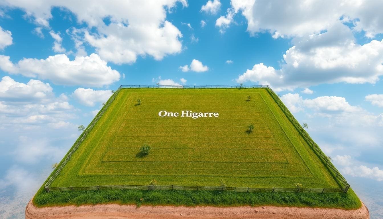
Visualizing 1 Hectare of Land
Sometimes, understanding a measurement is easier with a visual aid. Imagine a square with each side measuring 100 meters. The area enclosed within that square is 1 hectare of land. Alternatively, picture two and a half American football fields (excluding the end zones) placed side by side. That roughly approximates the size of a hectare.
Another helpful comparison is to consider common landmarks or areas in your local region. For instance, a large park or a cluster of residential blocks might collectively cover approximately one hectare. This can provide a tangible sense of scale and help in visualizing the area represented by a hectare.
Factors Affecting Land Use in a Hectare
The potential uses of 1 hectare of land are influenced by a variety of factors, including:
- Location: Land located in urban areas is typically more valuable and suitable for commercial or residential development, while land in rural areas is often used for agriculture or forestry.
- Topography: The slope and elevation of the land can affect its suitability for different uses. Steep slopes may be unsuitable for agriculture but ideal for conservation or recreation.
- Soil Quality: The type and quality of soil determine its suitability for agricultural purposes. Fertile soil is essential for successful crop production.
- Water Availability: Access to water resources is crucial for agriculture and can also influence the feasibility of other land uses.
- Regulations: Zoning regulations and land use policies can restrict the types of activities allowed on a particular piece of land.
Understanding these factors is essential for making informed decisions about land use and management.
Case Studies: Hectares in Action
To illustrate the practical applications of hectares, let’s consider a few case studies:
Agricultural Case Study
A farmer owns 50 hectares of land dedicated to growing wheat. By knowing the average yield per hectare, the farmer can estimate the total wheat production for the season. If the average yield is 4 tons per hectare, the farmer can expect to harvest 200 tons of wheat. This information is crucial for planning harvesting operations, storage, and marketing strategies.
Real Estate Case Study
A real estate developer is planning a new residential community on a 20-hectare site. The developer must consider factors such as the number of housing units, road infrastructure, green spaces, and community facilities. By using hectare measurements, the developer can create a detailed site plan that maximizes land use while providing a desirable living environment.
Environmental Case Study
A conservation organization is working to protect a 100-hectare forest. The organization conducts surveys to assess the biodiversity of the forest, monitor deforestation rates, and implement conservation measures. By tracking changes in the forest area over time, the organization can evaluate the effectiveness of its conservation efforts.
The Future of Land Measurement
As the world’s population continues to grow, efficient land use becomes increasingly important. Hectares will likely remain a crucial unit of measurement for planning, managing, and conserving land resources. Advances in technology, such as geographic information systems (GIS) and remote sensing, are making it easier to measure and monitor land use at various scales. These technologies provide valuable data for making informed decisions about land management and sustainable development.
Conclusion
Understanding 1 hectare of land is essential for anyone involved in agriculture, real estate, environmental conservation, or urban planning. This unit of measurement provides a standardized and convenient way to express large areas of land, facilitating communication, planning, and decision-making. By understanding the relationship between hectares and other units of area, and by considering the various factors that affect land use, individuals and organizations can make informed decisions about how to use and manage land resources sustainably. Whether you’re a farmer planning your next crop, a developer designing a new community, or a conservationist protecting a valuable ecosystem, a solid understanding of hectares is an invaluable asset.
[See also: Land Measurement Units: A Comparative Analysis]
[See also: Sustainable Land Use Practices for Agriculture]
[See also: The Role of GIS in Land Management]
